Drone Mapping and 3D Walkthrough Services
What We Do
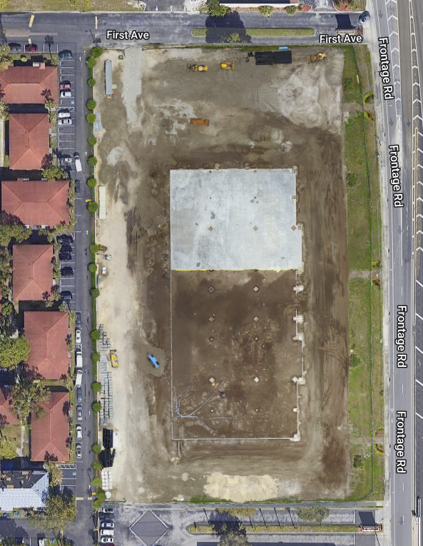
2D/3D Mapping and Modeling

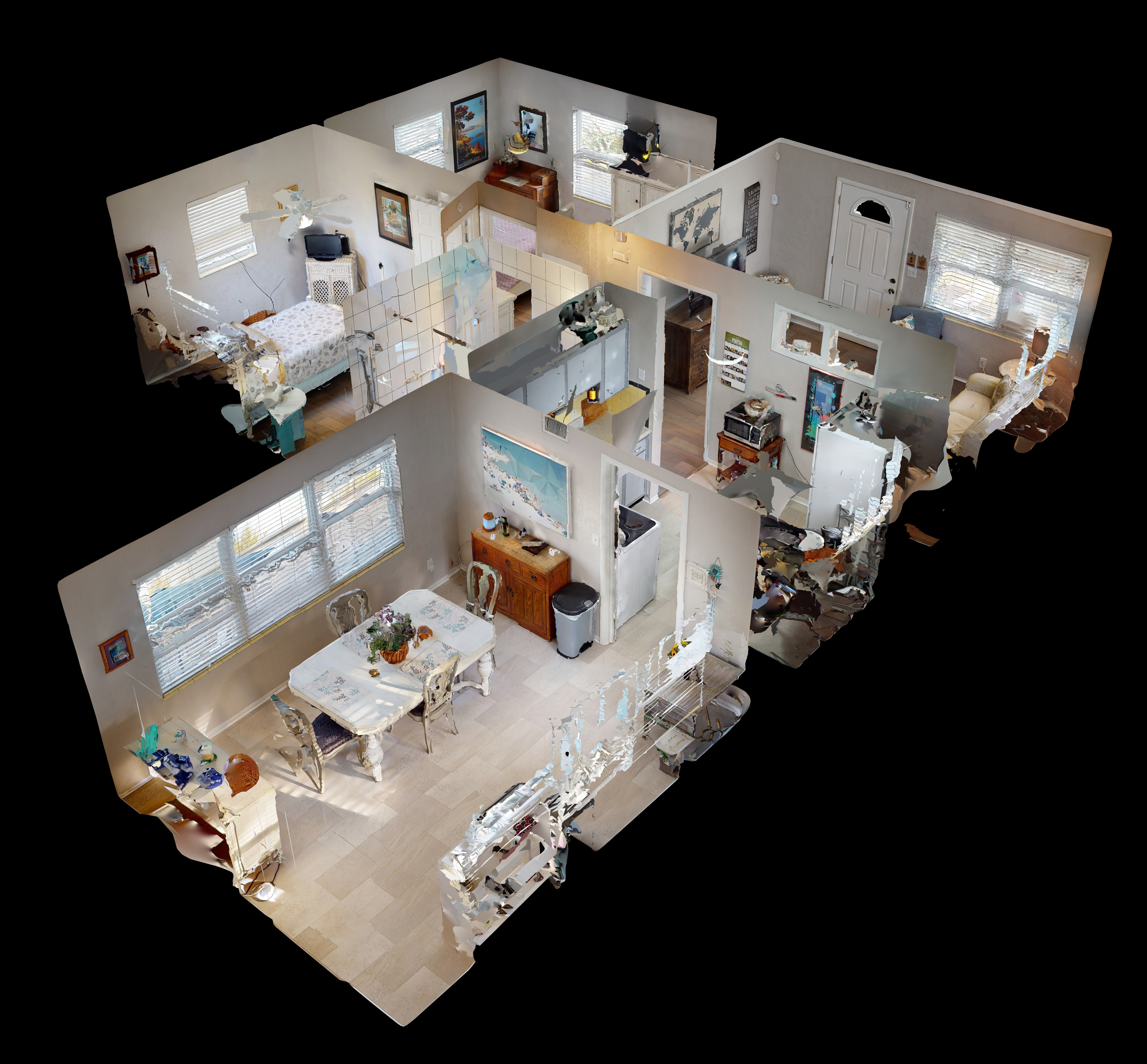
Matterport 3D Walkthroughs
Provide Analysis, Reporting and Sharing Data
Get a Quote For Your Project
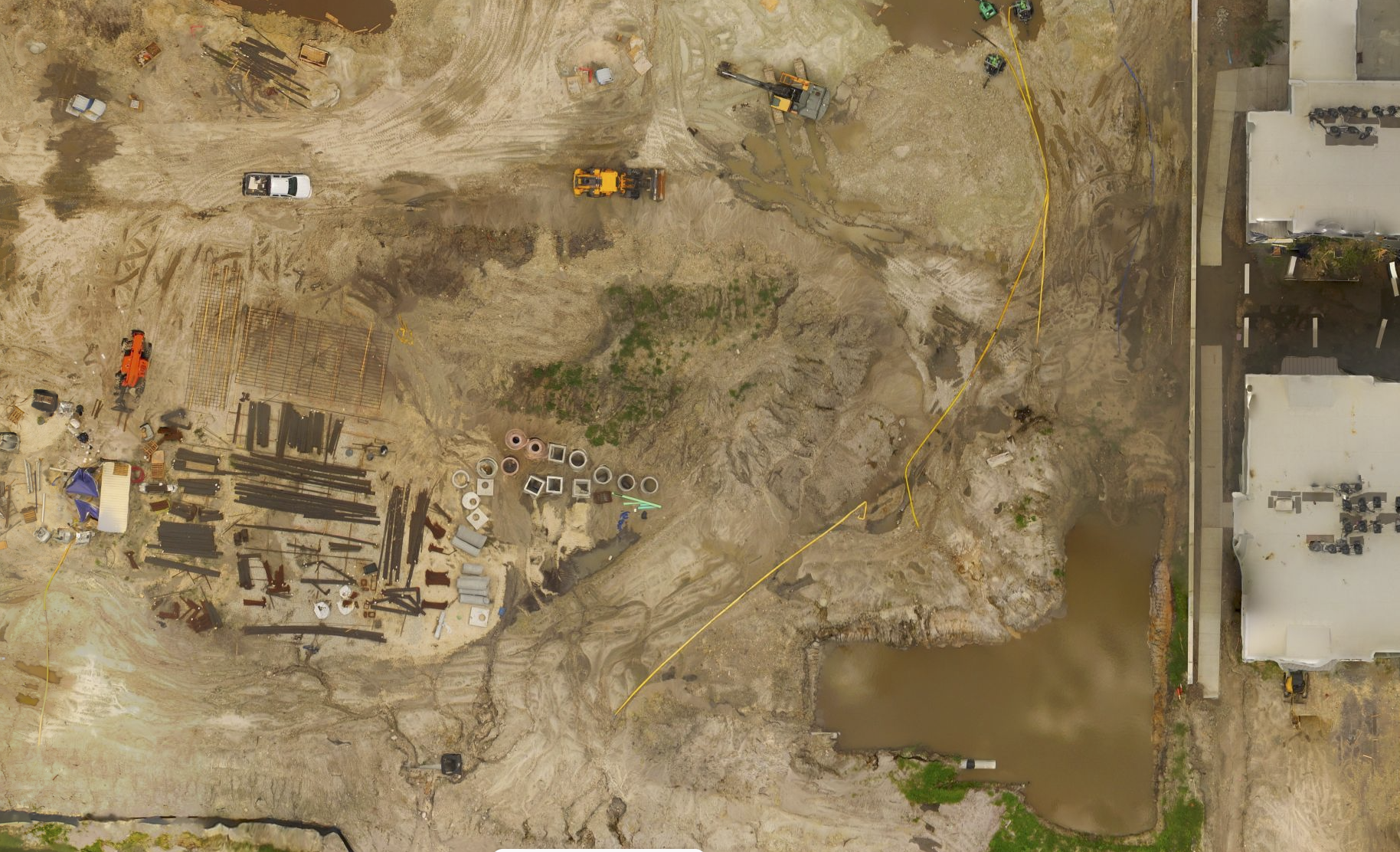
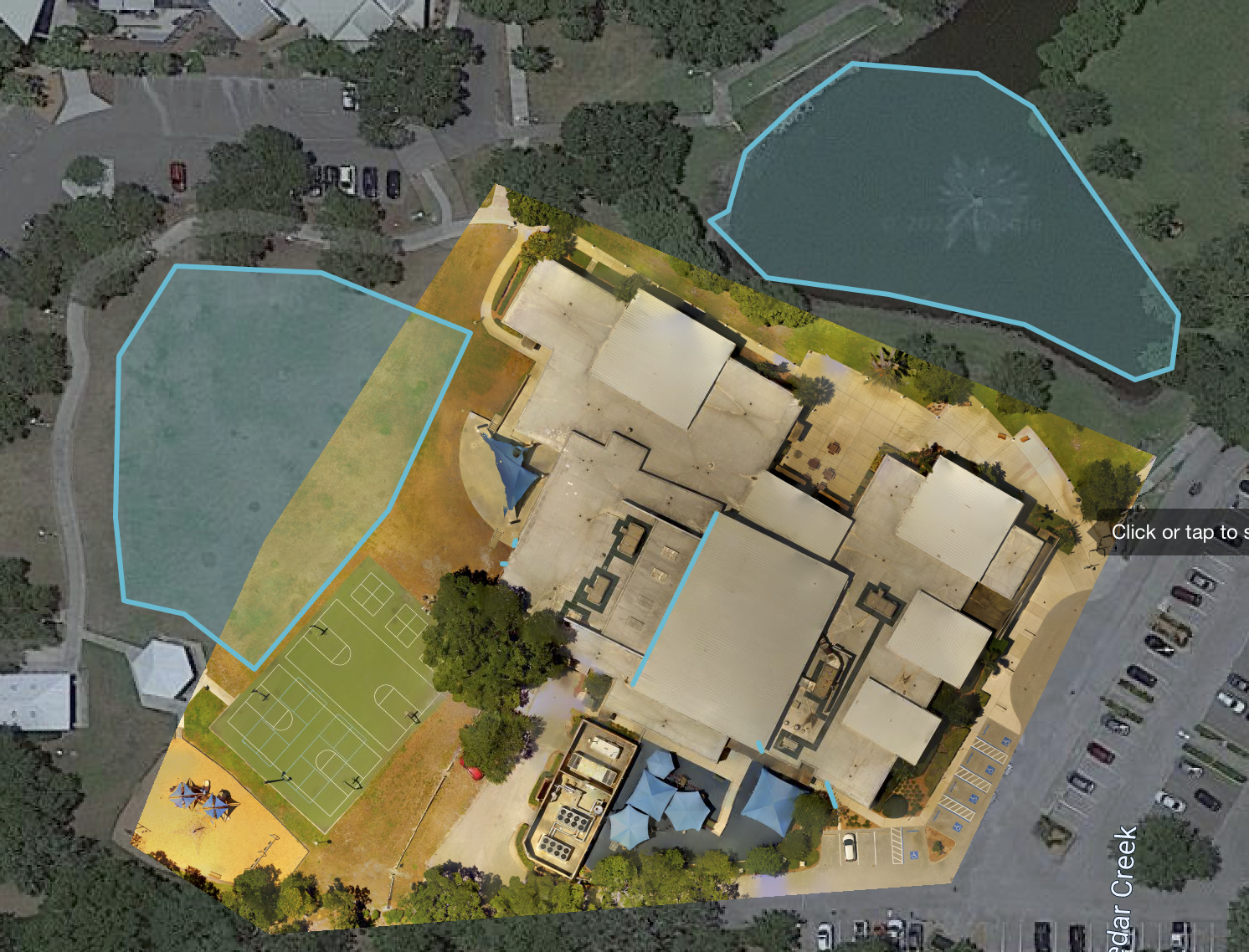
2D and 3D Models from Drone Aerials
- Expedite Construction Projects
- Pre-Construction site plans and designs with accurate maps
- Document progress at any stage of the project
- Eliminate repeat trips to the project site
- Verify work with cut/fill analysis and side-by-side comparisons
- Project managers stay on schedule with site monitoring
- Review measurements anytime without returning to job site
- Provide files for Autodesk, Procure, Plangrid, .etc
- Increase the speed of earth-moving projects
- Efficiently manage Logistics with site reality
- Remotely inspect by comparing maps and design plans
- Help Surveyors deliver topographic maps faster
- Perform safer, quicker inspections with accurate reconstructions of job sites
- Partners with Surveyors to increase services
- Discover issues early with QA/QC inspections
Matterport 3D Walkthrough
Whether you work in architecture, engineering, or construction, you’ll be able to streamline documentation, 3D scan as-builts, and collaborate easily with scans made by the Matterport Pro 3 camera. Matterport allows for cost reductions and savings on your most precious commodity — time.
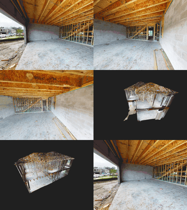
Construction professionals can use the ceiling plan and floor plan images for documentation/verification and building turnover packages or use the point cloud as a part of the QA/QC process.
- Photorealistic 3D as-built data that Matterport converts to BIM files so you can design, manage and build within Autodesk or your BIM application of choice.
- Measure dimensions of objects, rooms, or even the entire job site
- Measurements are made on the 3D mesh. You can also download the point cloud and measure in ReCap.
- Measure dimensions of objects, rooms, or even the entire job site.
- Matterport BIM File – Easily import files into Autodesk®’s Revit software. Included in the BIM (Building Information Modeling)
- Your team can focus on securing more jobs instead of being stalled by documenting site survey notes.
- Measurements are accurate to within 1% of reality.
- Construction professionals can use the ceiling plan and floor plan images for documentation /verification and building turnover packages or use the point cloud as a part of the QA/QC process.
Architect, Engineering and Construction Reports
PhotosinMotion.net’s Matterport Pro 3 files can be transferred directly into software such as Autodesk, Revit, and more. Use the point cloud to quickly create an as-built model and jump-start projects. Combine 2D and 3D maps and Matterport Pro 3 walkthroughs for one fully immersive experience of your job site.
- Use the OBJ file to kickstart their projects with a 3D model of a real-world place
- Open in AutoCAD, ReCap, or Revit and jump-start Matterport and Drone mapping projects
- Streamline documentation in architect, engineering, and construction projects
- 89% agree that reality capture is the future of AEC
- 82% agree a 3D walkthrough is better to communicate job site status
- Scan the same job site at different phases to show progress over time (construction documentation).
- Use the point cloud as a part of the QA/QC process.
- Matterport 3D data is accurate to within 1% of reality
- Measure remotely — no need for a return site visit to measure
- Measure dimensions of objects, earth-moving projects or even the entire job site
Latest Projects
Matterport 3D Housing Construction
Apartment Construction
Contact
Start With Great Photography Services Today
PhotosinMotion.net is ready to help with all your Architect, Engineering, Construction, and real estate marketing needs. Please contact us to help you with your photography needs.

