Drone Maps and Models
Capture Existing conditions before the design phase. Document and share construction progress. Save travel time for remote inspections. Speed up subcontractors’ estimates. Communicating by annotating 3D modes with notes, links, photos, and videos. Increase job safety by flying to hard-to-reach places. Add another product to Surveyor’s portfolio
What We Do
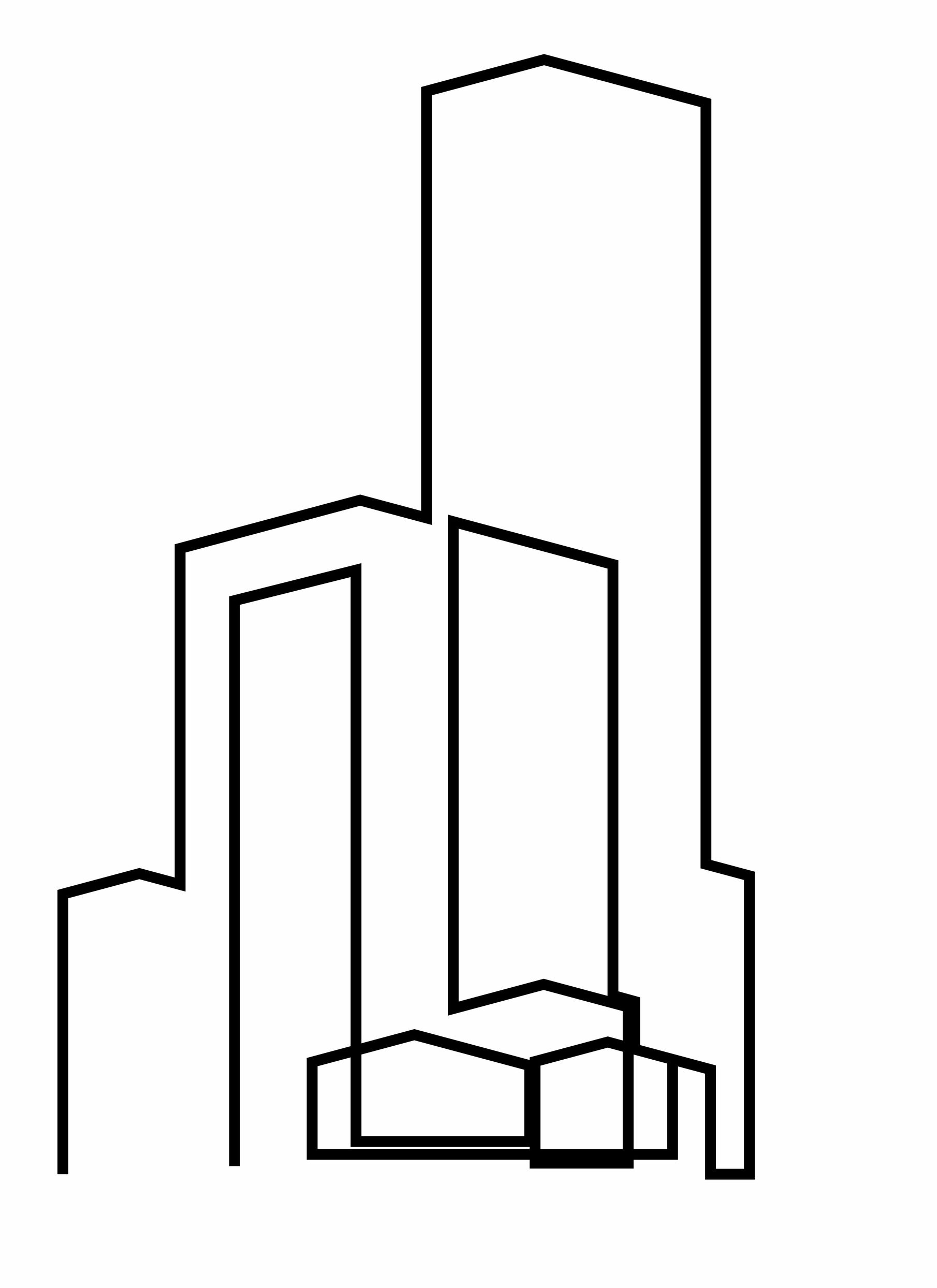
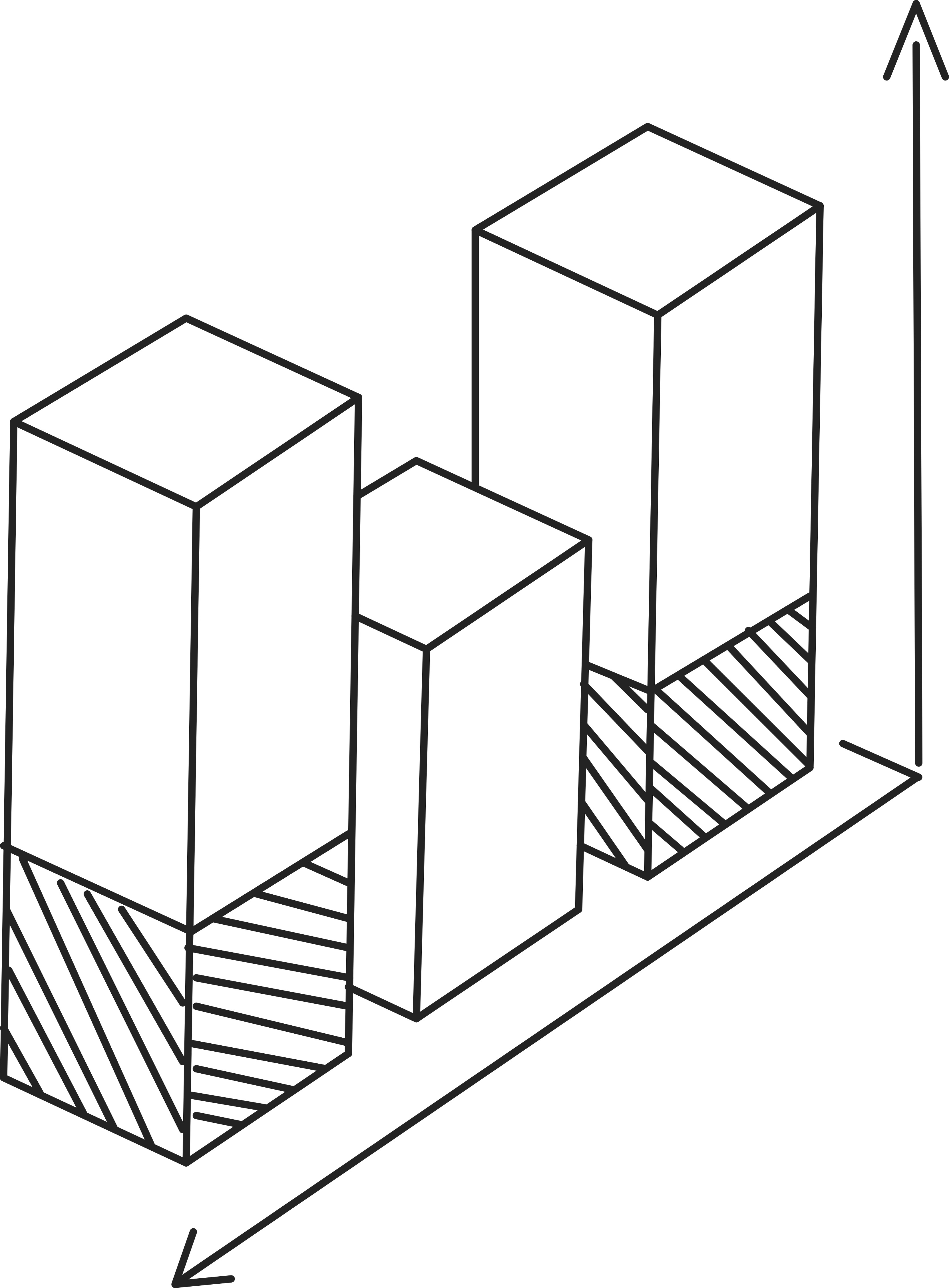
2D/3D Map and Models
Maps and models produced with 2X the quality of many drones, capturing every detail of a job site with the DJI Matrice 300 and P-1 45MP camera.

Increase Surveyors' Efficiency
Gathering data aligned with coordinates provided by surveyors in partnership enhancing their data collection with overhead views of the job site.
Frequent Missions for Progress Reporting and Data Sharing
Frequent flights on the same path recording progress and exporting to major software used by AEC planners
Get a Quote For Your Project
2D/3D Map and Models
Collect data for 2D orthomosaic maps and 3D models captured with industry-leading drone/camera combinations providing greater clarity for inspections and reports.
- DJI Matrice 300 & P1 camera offer 45MP resolution
- All photos are geo-tagged
- More robust and versatile mapping tool than traditional methods
- Overhead data collected that can’t be gathered standing on the ground
- Use Ground Control Points (GCP) to improve accuracy
- Model and mapping accuracy within centimeters
- Use Point Cloud for accurate measurements
- Color graph for height measurements.
- Record Earth movement projects, measure volume
- Plan property layout and designs

We want to hear from you. Call 727.433.0369 or send a request for a free quote on your project.
Increase Survey Efficiency
PhotosinMotion.net is happy to partner with independent surveyors or companies with surveyors to provide data collection through photogrammetry to enhance productivity and increasing the project’s success.

- Render 3D model of site topography
- Bird’s eye view incorporates angles, elevations not seen from ground
- Surveyors accomplish more in less time with Drone Data
- Eliminate walking a grid over entire site; saves time
- Ready to use topos available within days rather than weeks.
- Don’t have the budget to invest in a drone, let us fly for you
- Pull the Ground Control Points (GCP) for high accuracy
- Enhance your workflow and offer your clients a greater product
We want to hear from you. Call 727.433.0369 or send a request for a free quote on your project.
Frequent Missions for Progress Reporting and Data Sharing
PhotosinMotion.net provides files for upload directly into software such as Autodesk, Revit, and more. Use the point cloud to quickly create an as-built model and jump-start projects. Combine 2D and 3D maps and Matterport walkthroughs for one fully immersive experience of your job site.
- Track progression on job site by flying same path and udating data
- Provide data for major design and inspection software
- Provide topo and other analysis reports
- Software allows interactive relationships with project owners, managers and contractors
- Combine Drone models and Matterport Models for full 3D experience
- Need greater analysis, PhotosinMotion.net partners with Aerial Media & Data for thorough reporting.
- Data hosting and report sharing available
- Drone Data and delivery platform involve aerial inspections.
We want to hear from you. Call 727.433.0369 or send a request for a free quote on your project.
Contact
Start With Great Photography Services Today
PhotosinMotion.net is ready to help with all your real estate marketing needs. Please contact us to have your listing displays in style.